Free — you'll pick up right here.
Watch this water
Sign up to watch it — saving subscribes you to gate, closure and report changes.
Virginia
Sherando Lake Recreation Area Family Camping
Conditions: Blocked
for surf fishing, todayAn agency closure order is in effect for this area; weather is good
2 factors · 2 sources
Newest 23 h ago · oldest 23 h
problem: Agency alerts
23 active alerts in George Washington and Jefferson National Forest; most severe: Bolar Mountain Recreation Area - Twin Ridge Road Closure
USFSPosted Aug 11 · checked 23 h ago
clear: Weather
Clouds, high 62°F / low 62°F, 0% precip — 97/100 for surf fishing
OpenWeather23 h ago
Been out here in the last few days? One report keeps this current for everyone.
Why you'll love it

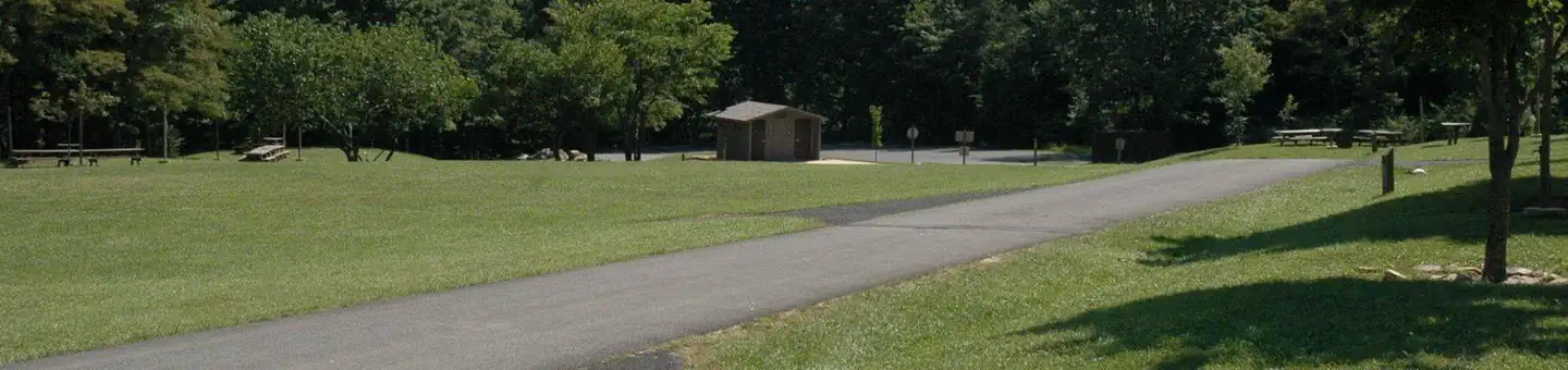
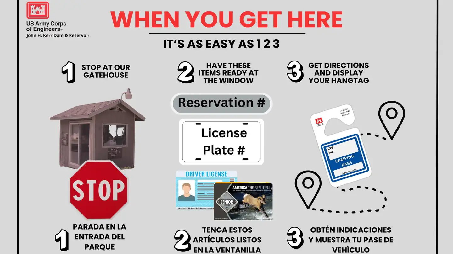
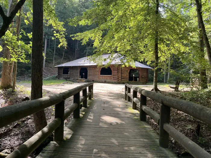
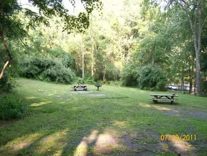

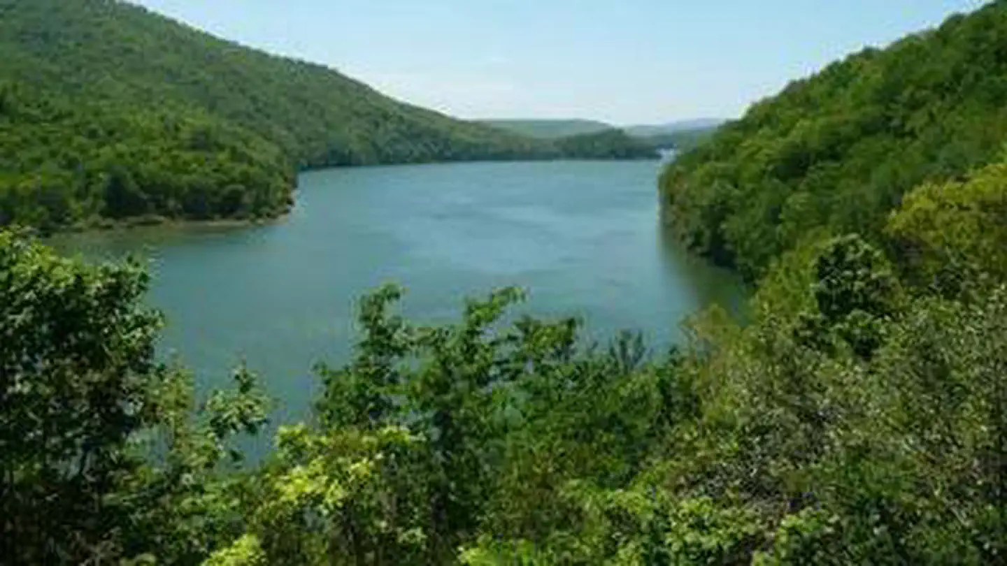
Here's your day on the water, mapped
Sherando Lake Recreation Area Family Camping
AI-suggested draft · review before you go
Gear for the day
Photos
Directions & GPX
About this water
Overview Sherando Lake Recreation Area's Family Campground provides an ideal camping destination. It is situated in the Blue Ridge Mountains and is known locally as the jewel of the Blue Ridge Mountains, where visitors enjoy hiking, picnicking in the shade, fishing in the lakes, or swimming and relaxing on the sandy beach.Recreation The 25 acre Lower Lake offers opportunities for swimming in a designated area with a sand beach, accessible ramp to the water's edge, and a beach bathhouse with changing and shower facilities. Fishing and boating are also available outside the designated swimming area of the lake. Fishing is in stocked trout waters during the spring and fall seasons. Visitors will need to have the appropriate Virginia fishing license, National Forest stamp, and trout stamp. Boats with gasoline motors are not permitted on the lower lake - electric troll motors, canoes, kayaks, or similar boats only. A hand-carry ramp is available for access to the lake adjacent to the parking area. Fishing only is available at the 7 acre Upper Lake. This lake is also stocked during the spring and fall seasons and the appropriate licenses are required. Boats are allowed, but there is no launch access - hand carry only. Parking is available at a small area below the group camp area and a walking trail will lead you to the lake. Swimming is not allowed in the upper lake. Hiking trails surround the area offering everything from a short walk around the lake on the Lakeside and Cliff Trails to a day hike up the mountain on the White Rock Trail and the Blue Ridge Parkway. For the more adventurous hiker, more challenging day hikes and backpacking trips are available by heading up the Blue Loop Trail to the Torry Ridge Trail to Bald Mountain and beyond. Facilities The campground is divided into three loops: Meadow Loop (Loop C) and River Bend Loop (Loop B) have campsites with electric hookups which are suitable for larger camping units and RV's; White Oak Loop (Loop A) has non-electric campsites, suitable for tents and camping units less than 20 feet in length. All camping requires a reservation prior to arriving. Campsites can be reserved via Recreation.gov or 1-877-444-6777. No first-come, first-serve sites. Each campsite is equipped with a picnic table, serving table, lantern post, and campfire ring with grill. The designated tent pads are covered with a fine brown sandy gravel. Showers, flush toilets and drinking water hydrants are located in each loop. The water hydrants are not threaded for hose hook-ups. Most campsites are equipped with a food storage locker for securing your food due to bear activity. It is mandatory that all food be either stored in a food storage locker or secured in a locked vehicle. Violators are subject to a fine. You are camping in the mountains with unlevel ground. Please be prepared. A trailer dump station is located along the main road between the entrance station and the road to the lower lake parking. A potable water station with threaded hose (to fill RV tanks) is located within the campground, opposite of the Day-Use parking area near the Williams Branch picnic area bathroom. Both the dump station and fill station are signed. Natural Features The campground sits between Lower Sherando Lake and Upper Sherando Lake at an elevation of about 1,800 feet in the shadows of Torry Ridge. The Upper Lake is 7 acres and is fed by the waters of the North Fork of Back Creek. The Lower Lake is 25 acres and is fed by springs, the North Fork of Back Creek, and Williams Branch, so the water stays refreshingly cool all summer long. Nearby Attractions There are opportunities for gas, groceries, and firewood at convenience stores and local vendors along the state road to Sherando Lake. ICE IS NO LONGER FOR SALE ON SITE. Additional supplies can be obtained in Stuarts Draft, about a 15 minute drive away. The Blue Ridge Parkway, with its scenic overlooks and ridgetop views, is a short 3 mile drive up St
Add to a trip & share
Keep exploring — more waters worth the drive
Sherando Lake Group Picnic Shelter
~3 min drive
A worthwhile stop near Virginia.
South River Number 23 Dam
~13 min drive
A worthwhile stop near Virginia.
Sherando Lake Group Camp
~3 min drive
A worthwhile stop near Virginia.
Stoney Creek Lake
~13 min drive
A worthwhile stop near Virginia.
Walace Lake
~16 min drive
A worthwhile stop near Virginia.
Sportsman Lake
~31 min drive
A worthwhile stop near Virginia.
Mill Creek Reservoir
~31 min drive
A worthwhile stop near Virginia.
Thrasher Lake
~32 min drive
A worthwhile stop near Virginia.
Sego Pond
~33 min drive
A worthwhile stop near Virginia.
Charlottesville Reservoir
~36 min drive
A worthwhile stop near Virginia.

