Loading trail…

Free — you'll pick up right here.
Save this plan
Sign up to save your own editable copy — you'll pick up right here.
Wyoming
46.4 mi
Distance
787 ft
Gain
No conditions check on file for this trail yet — always verify current conditions before you go.
Why you'll love it
CDT hmgXX Old route
AI-suggested draft · review before you go
No permit or access details on file for this trail — check with the local land manager before you go.
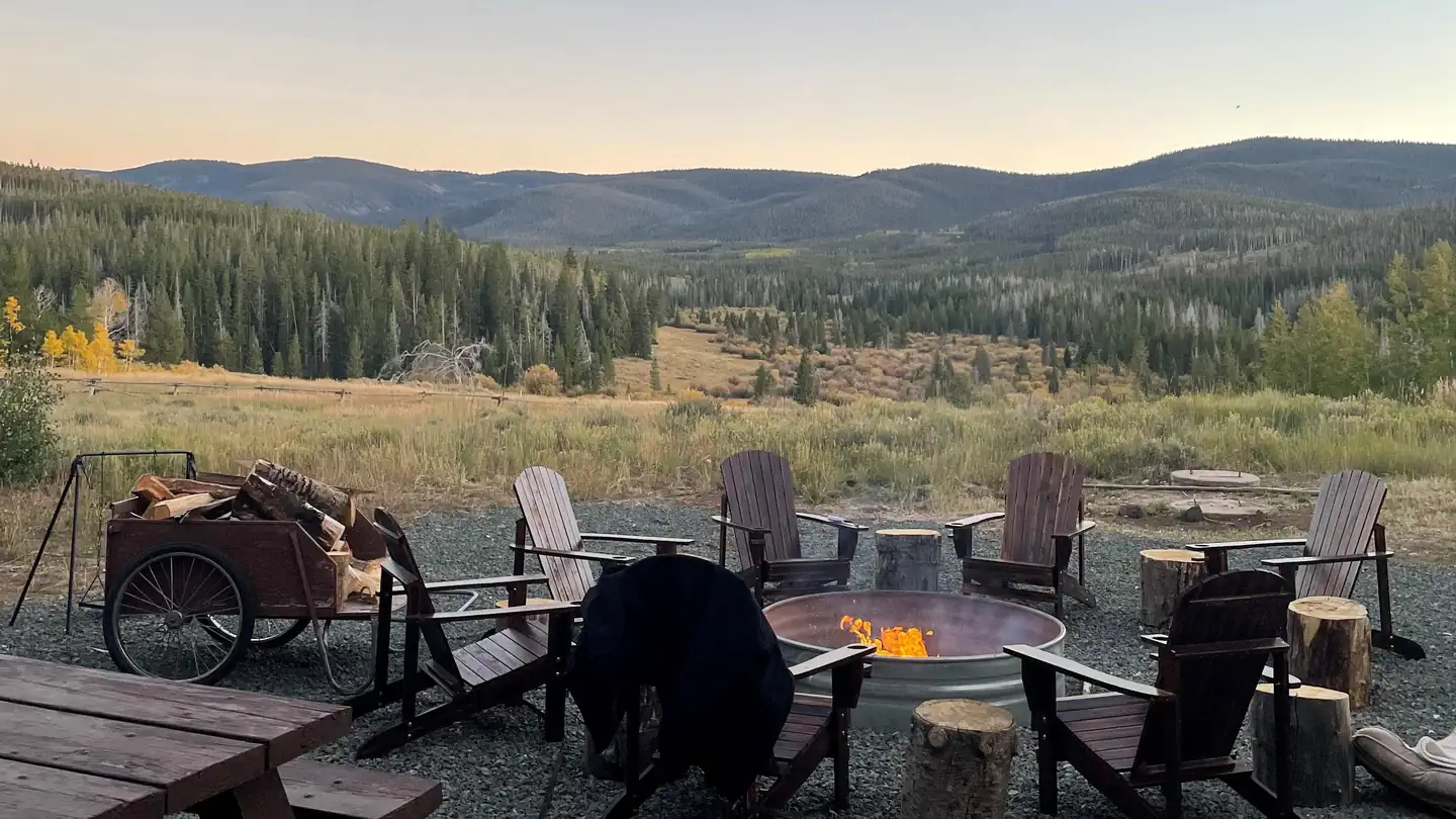
The CDT hmgXX Old Route is a 23.2-mile out-and-back trail located in Wyoming. This route follows the Continental Divide Trail's historic path through the region, offering hikers an opportunity to experience a section of this iconic long-distance route. The out-and-back format means hikers will cover approximately 11.6 miles to the turnaround point before retracing their steps. This trail is suitable for hikers seeking a substantial day hike or multi-day backpacking experience. The Wyoming landscape along this corridor provides characteristic high country terrain typical of the Continental Divide. Due to the trail's distance and remote location, adequate preparation and navigation skills are recommended. The specific elevation gain for this section is not currently documented, so hikers should research current trail conditions and topographic maps before heading out. As with all CDT sections, weather can change rapidly at elevation, and hikers should be prepared for variable conditions. This route appeals to those interested in experiencing the Continental Divide Trail system and exploring Wyoming's backcountry.

Roaring Fork Trail
~1h 6m drive
15 mi · Hard
Pennock Mountain Trail
~1h 2m drive
5.6 mi · Moderate
Green Mountain Trail
~1h 8m drive
3.5 mi · Easy

Encampment River Trail
~1h 7m drive
31 mi · Hard
Baby Lake
~1h 3m drive
10 mi · Moderate
Purgatory Gulch
~1h 12m drive
1.2 mi · Easy
Verde Mine Trail
~1h 9m drive
8.9 mi · Hard
Green Mountain Falls
~1h 4m drive
3.2 mi · Moderate
Elkhorn
~1h 19m drive
2.6 mi · Easy
Elkhorn Stock Driveway
~1h 13m drive
5.0 mi · Hard