Loading trail…

Free — you'll pick up right here.
Save this plan
Sign up to save your own editable copy — you'll pick up right here.
Vermont
9.3 mi
Distance
1,097 ft
Gain
3h 38m
Time
No conditions check on file for this trail yet — always verify current conditions before you go.
Why you'll love it
Lefferts Pond
AI-suggested draft · review before you go
No permit or access details on file for this trail — check with the local land manager before you go.
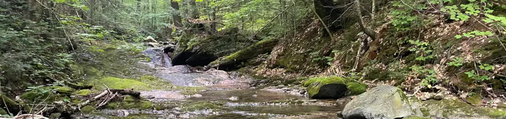
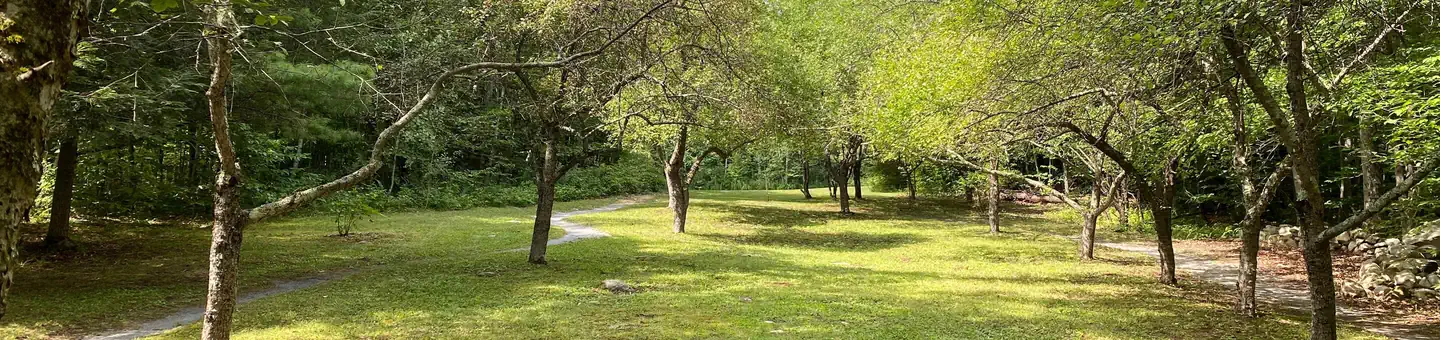
This 9.25-mile loop trail in Vermont circles Lefferts Pond, offering a scenic woodland walk with water views and the peaceful ambiance of a backcountry pond setting. The route traverses mixed forest terrain typical of central Vermont, providing a moderate day hike suitable for hikers seeking a full-day adventure without extreme elevation gain. The loop format allows for a complete circuit around the pond, making it an excellent choice for those wanting to explore the area's natural character.
The Darning Needle
~4 min drive
A 7.42-mile out-and-back Vermont trail connecting to the Long Trail system.
Blue Ridge Mountain
~4 min drive
A 2.02-mile moderate out-and-back trail in Vermont that links to the Canty Trail network.
Round Robin (C-7)
~4 min drive
A 4.56-mile out-and-back Vermont trail with moderate hiking.
Appalachian
~9 min drive
Moderate out-and-back hike through Vermont's Appalachian region.
North Pond
~8 min drive
13.60-mile hard out-and-back trail in Vermont.
Catamount - Old Turnpike Rd
~5 min drive
Easy 2.38-mile out-and-back trail in Vermont.
California Lot
~7 min drive
4.62-mile out-and-back trail in Vermont with moderate difficulty.
Chittenden Brook
~15 min drive
A 7.14-mile loop following Chittenden Brook through Vermont forest.
Slab Bridge Brook
~11 min drive
2.61-mile hard out-and-back trail in Vermont.
Catamount - Mendon Brook
~5 min drive
Easy 1.05-mile out-and-back trail in Vermont.