Loading trail…

Free — you'll pick up right here.
Save this plan
Sign up to save your own editable copy — you'll pick up right here.
Montana
4.1 mi
Distance
343 ft
Gain
No conditions check on file for this trail yet — always verify current conditions before you go.
Why you'll love it
Historic Highway 2 East
AI-suggested draft · review before you go
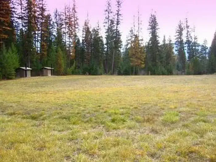
Historic Highway 2 East is a scenic 4.12-mile trail offering gentle hiking through Montana's landscape with modest elevation gain of 343 feet. This easy-to-moderate route follows the historic corridor of Highway 2, providing hikers with cultural and natural heritage insights while traversing accessible terrain suitable for families and casual hikers.
Bobtail Ridge
~2 min drive
Challenging 16.88-mile ridge traverse with 2,556 ft elevation gain.
Sheldon Mountain C
~6 min drive
Moderate 7.8-mile hike to Sheldon Mountain with 956 ft elevation gain.
Sheldon Mountain Tie M
~7 min drive
Quick foothills connector with steady elevation gain near Sheldon Mountain.
Scenery Mountain
~3 min drive
Steep 8.26-mile climb to alpine views with 3,770 ft elevation gain.
Sheldon Mountain D
~7 min drive
Moderate 5.8-mile hike with 860 ft elevation gain to Sheldon Mountain.
Sheldon Mountain E
~8 min drive
Steep 2.95-mile climb with 790 ft gain near Sheldon Mountain.
Norman Mountain
~5 min drive
Moderate 5.93-mile climb to Norman Mountain summit with 2,350 ft gain.
Grambauer Ridge
~8 min drive
Steady ridge climb with 788 ft gain and scenic Montana vistas.
Whoop Up
~8 min drive
Easy 3-mile Montana trail near Whoop Up, perfect for casual hikers.
China Rim
~6 min drive
Scenic 12-mile rim loop with expansive Montana plateau views.