Loading trail…

Free — you'll pick up right here.
Save this plan
Sign up to save your own editable copy — you'll pick up right here.
California
31.1 mi
Distance
4,955 ft
Gain
Excellent conditions for mountain biking today
Checked 8/11/2026 · openweather, scoring_engine
Weather is ideal with clear skies, mild temperatures, and minimal wind. The scoring engine rates conditions at 99/100 for mountain biking. Rain moves in tomorrow, so ride today.
Why you'll love it
Stump Springs
AI-suggested draft · review before you go
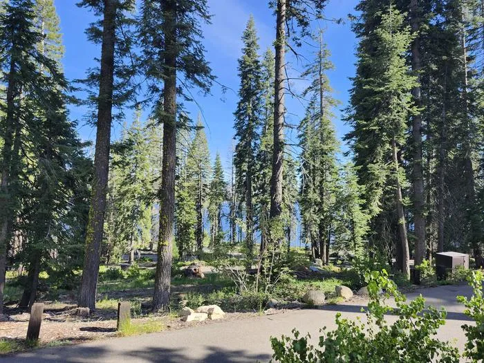
Stump Springs offers an extensive 31-mile adventure through California's Black Point Trailhead system, perfect for riders seeking a substantial backcountry experience. This lengthy route showcases the diverse terrain and natural features that make the Black Point area a destination for serious mountain bikers. With over 31 miles to cover, riders should come prepared for a full day of exploration and varied riding conditions.
No permit or access details on file for this trail — check with the local land manager before you go.

Huntintgon
~9 min drive
8.31-mile trail at Rancheria Falls Trailhead in California.
Huntintgon
~9 min drive
8.31-mile trail at Black Point Trailhead in California.
Huntington Shore
~9 min drive
A 2.7-mile coastal trail at Black Point Trailhead in Huntington, California.

Deer Creek
~9 min drive
Quick 0.649-mile trail at Rancheria Falls Trailhead in California.

Potter Creek
~10 min drive
A scenic 1.9-mile trail at Rancheria Falls Trailhead in California.

Potter Pass Cutoff
~10 min drive
Quick 1.4-mile connector at Rancheria Falls Trailhead in California.
Rancheria
~10 min drive
Quick 0.8-mile trail at Rancheria Falls Trailhead in California.
Big Creek
~11 min drive
A 4.4-mile trail through California's Rancheria Falls system near Big Creek.
Big Creek
~11 min drive
A 4.4-mile California trail through Black Point Trailhead's scenic terrain.
China Peak
~11 min drive
A 1.67-mile trail at Rancheria Falls Trailhead near China Peak in California.