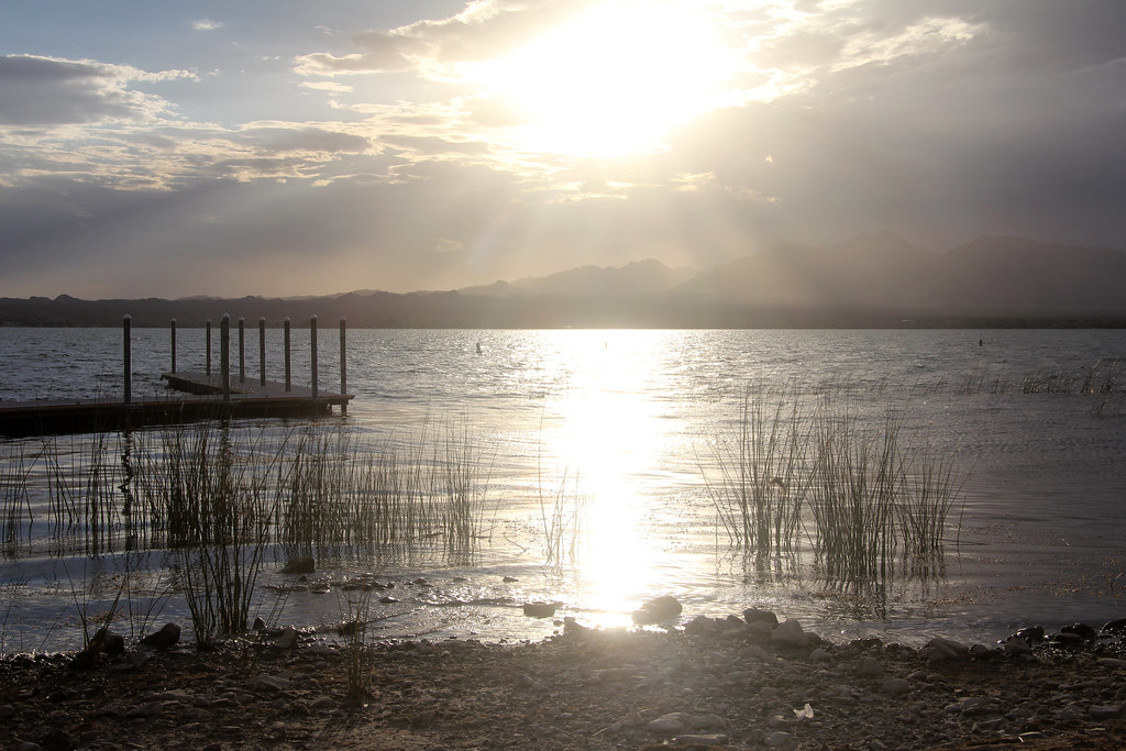
Unnamed BLM Trail
- 0.6 mi
- round trip
- 80 ft
- climb
- 1,850 ft
- high point
- Out and back
- route
- Oct–Apr
- best months
This short, easy hike on Bureau of Land Management land in Arizona's Lake Havasu Field Office covers about 0.6 miles, with a low point of 1,770 feet and a high of 1,850 feet. The trail is an out-and-back, and the climb is gentle, with an elevation gain of about 80 feet. The route is natural-surfaced and open to both horses and bikes, so it works for riders and pack animals as well as hikers. The Bureau of Land Management manages the land, and the trail falls within the Lake Havasu Field Office. Spring and fall are the most comfortable times to go. Typical averages from a nearby weather station show April highs around 79°F and October highs around 84°F, while July and August average in the low 100s. Nearby, the Crab Claw climbing area is about 3 miles away. The Needles Mountain Trail and the Mesquite Bay South Trail are both roughly 9.5 miles off.
Local outfitters
- Arizona State Parks & Trails10 mi away
- Sunrise Adventures Ridgeview Resort40 mi away
Not on Roamze yet. Their page has how to reach them.
- Crab ClawRock climbing2.9 mi
- Needles Mountain TrailHiking9.3 mi
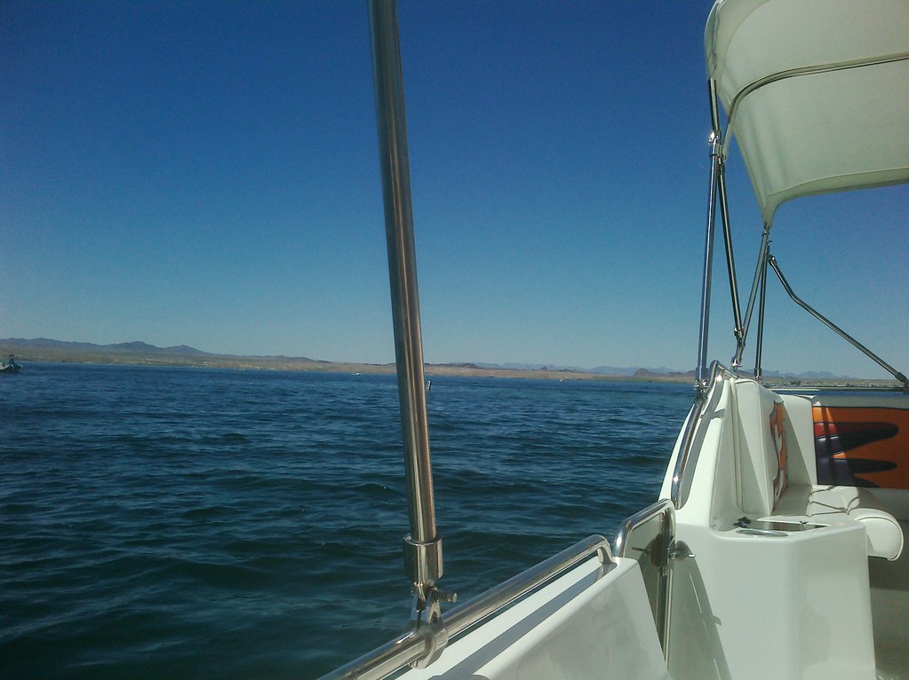 Mesquite Bay South TrailHikingPhoto: AFresh1, CC BY 2.0 (via Flickr)9.5 mi
Source: Roamze catalog (indexable pages within 10 miles, PostGIS distance)
- Mesquite Bay South TrailHiking · ~16 min drivePhoto: AFresh1, CC BY 2.0 (via Flickr)
- Friendly Fair TrailHiking · ~22 min drive
- Heritage TrailHiking · ~29 min drive
 4455AaHiking · ~21 min drivePhoto: Patriot1423, CC BY-SA 4.0 (via Wikimedia Commons)
- Trails End TrailHiking · ~24 min drive
- Needles to Ludlow Truck TrailHiking · ~33 min drive
 McKinney LoopHiking · ~35 min drivePhoto: homeredwardprice, CC BY 2.0 (via Flickr)
- West Well TrailHiking · ~28 min drive
- Glory Been TrailHiking · ~47 min drive
- Ted's TrailHiking · ~36 min drivePhoto: homeredwardprice, CC BY 2.0 (via Flickr)
Best time to visit Unnamed BLM Trail
Best months: October–April. Best months have typical highs of 55–85 °F, lows of 30 °F or warmer (32 °F where the station doesn't record snow), at most one snowy day and no more than 12 wet days.
Jan
61° / 38°
3 wet
Feb
65° / 40°
4 wet
Mar
71° / 45°
3 wet
Apr
79° / 50°
2 wet
May
89° / 60°
1 wet
Jun
99° / 69°
1 wet
Jul
103° / 77°
2 wet
Aug
102° / 76°
3 wet
Sep
96° / 68°
2 wet
Oct
84° / 55°
2 wet
Nov
71° / 44°
2 wet
Dec
60° / 37°
3 wet
Typical high / low (°F) and days with rain or snow, 1991–2020. Measured at Yucca 1 Nne, AZ, 19.2 mi away at 1,950 ft. Source: NOAA NCEI U.S. Climate Normals 1991–2020.