Tony Hisgett from Birmingham, UK — Wikimedia Commons (CC BY 2.0)
Active NPS alert — check the National Park Service for the latest closures and conditions before you go.
View alertsUnknown
Teton Point Turnout
Wyoming
UnknownTrail type
About
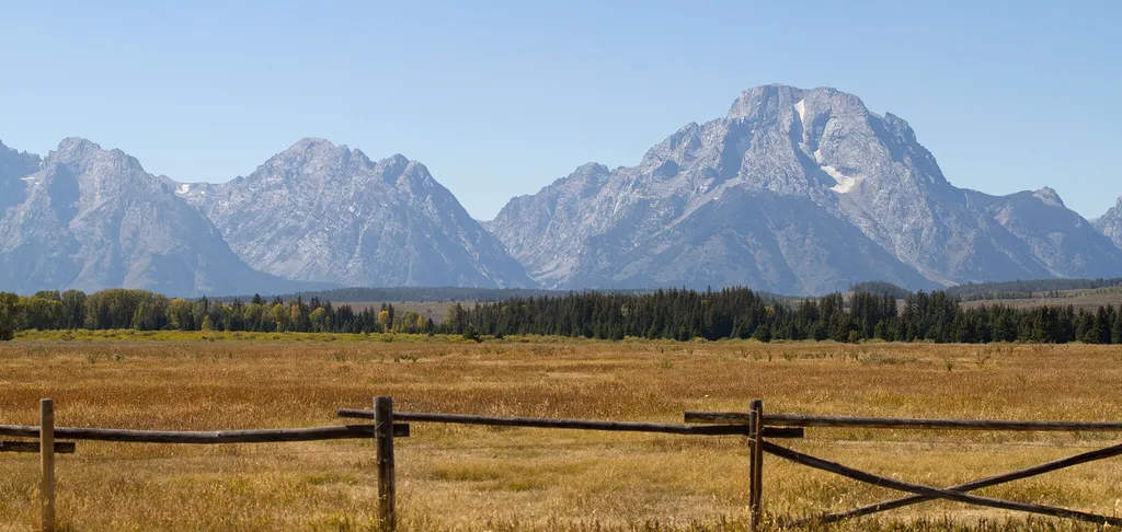
Pleistocene Ice Age glaciers advanced across this valley many times. Each time the glaciers melted, a raging torrent of meltwater flowed across the valley floor. The powerful flow carved terraces that step down to the modern Snake River. Today, conifer and cottonwood trees line the river. Across the valley, the highest peaks of the Teton Range rise abruptly from the valley floor. The Middle Teton lies south of the Grand Teton-the tallest peak in the range. Mount Owen and Teewinot Mountain lie to the north.
Trail information
Permits & fees
Managing agencyNational Park Service
Photos
Loading conditions...
Location
Teton Point Turnout
Wyoming
Trail data from National Park Service
Tony Hisgett from Birmingham, UK — Wikimedia Commons (CC BY 2.0)
Tony Hisgett from Birmingham, UK — Wikimedia Commons (CC BY 2.0)
