South Boundary Turnout
About
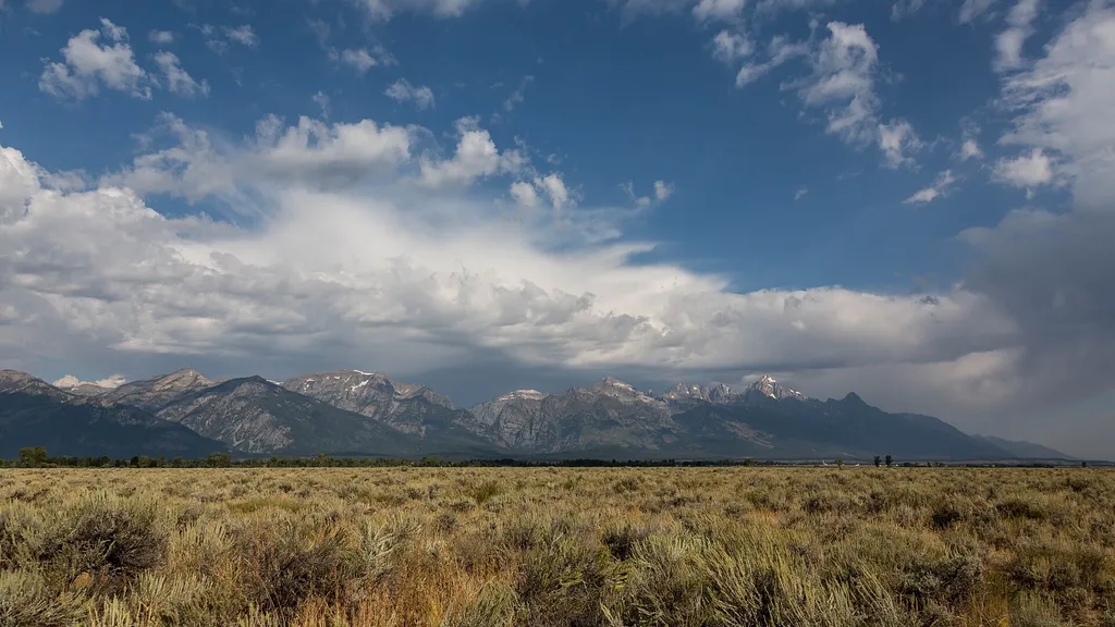
Although not the actual southern boundary of the park, this turnout is your first opportunity to get a picture with the iconic Grand Teton National Park sign with sweeping views of the Teton range in the background. The turnout is about four miles north of the town of Jackson along highways 89/191/26. Continuing north along the highway will take you to the airport, Moose Junction, and other park locations. The multi-use pathway runs next to this turnout. The views from the turnout offer you a glimpse into the geologic history of the area. Notice the flat sagebrush flats juxtaposed against the sharp rise of the mountains. As you continue your journey through the park, pay attention to how the land shifts—do you notice a difference in plants and wildlife? Take a moment to get a 360 view from the sign. You will notice other mountain ranges, like the Absarokas to the north and the Gros Ventre to the east, surround the valley known as Jackson Hole. Despite being within park borders, you won't reach an entrance station until you turn at Moose or Moran Junction.
Trail information
Photos
Location
South Boundary Turnout
Wyoming
David Brossard — Wikimedia Commons (CC BY-SA 2.0)
