Blacktail Butte Trailhead
About
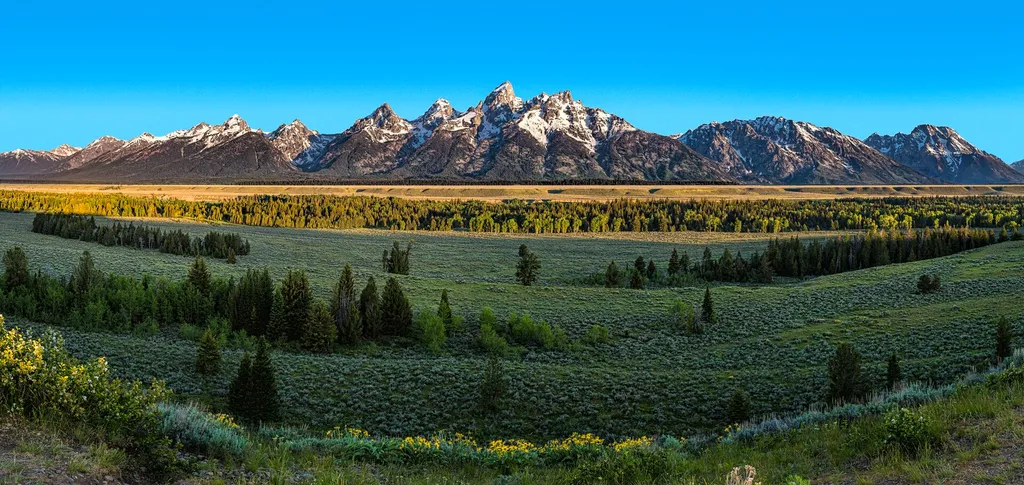
Location: Access the Blacktail Butte Trailhead from US 26/89/191. The parking lot is one mile north of Moose Junction on the east side of the highway. Notes: There are no facilities at this trailhead-remember to bring water and use a restroom before you arrive. Bears may be active any place and at any time-travel in groups, make noise and carry bear spray. Hikers cannot access backcountry camping from this trailhead. Destinations Rock climbers use this trailhead to access bolted climbing routes on Blacktail Butte. Hikers may travel along the west margin of the butte and climb up a gully to the southern end of the butte for vistas of the Teton Range. Name Origin Originally called Gros Ventre Butte by the Doane Survey in 1876. The name changed to Blacktrail Butte by the 1899 survey map. The name derives from the "blacktail" deer, now known as mule deer, that browse on the slopes and upper meadows.
Trail information
Photos
Location
Blacktail Butte Trailhead
Wyoming
Sheila Sund from Salem, United States — Wikimedia Commons (CC BY 2.0)
