
Colorado · Hiking
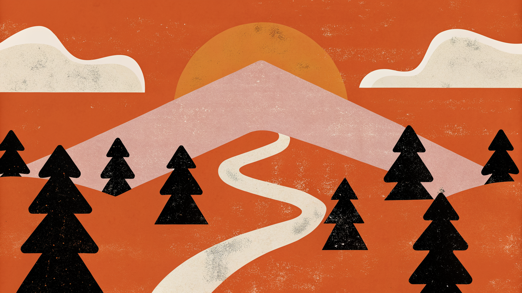
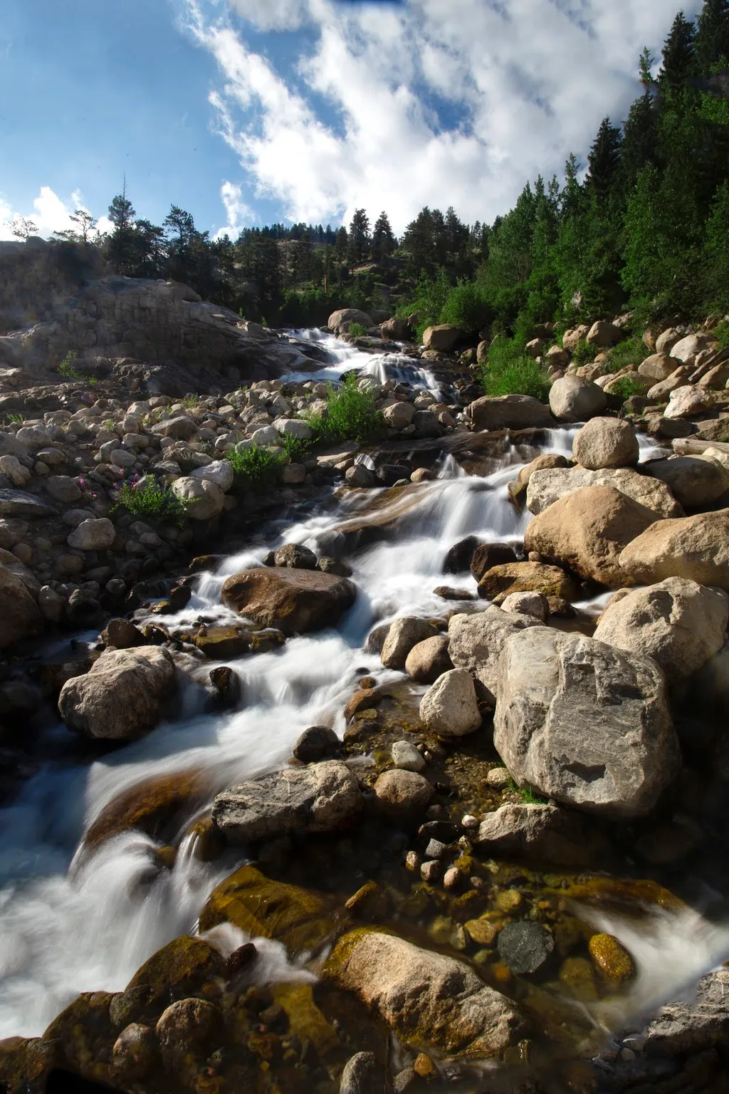
Hiking in Colorado
Colorado has more hiking options than most people realize, and the 25,000-plus listings on Roamze reflect that range.
200 spots1 townUpdated weeklyFree to access
View on mapHiking · 200 spots
Featured spots
Out & backHiking
Abyss Lake
Colorado
 Out & back
Hiking
ADT - Colorado A - O - Seg 3
Colorado
 Out & back
Hiking
ADT - Colorado B - P - Seg 2
Colorado
 Out & back
Hiking
ADT - Colorado C - Q - Seg 4
Colorado
 Out & back
Hiking
ADT - Colorado C - Q - Seg 6
Colorado
All spots · 200
 Out & back
Hiking
10Th Mtn Hut-Colo Trail
Colorado
Out & backHiking
41
Colorado
 Out & back
Hiking
47 Road
Colorado
 Out & back
Hiking
737
Colorado
 Out & back
Hiking
Acorn Creek Trail
Colorado
 Out & back
Hiking
Adams Fork
Colorado
Out & backHiking
ADT - Colorado B - P - Seg 1
Colorado
Out & backHiking
ADT - Colorado C - Q - Seg 5
Colorado
 Out & back
Hiking
ADT - Kansas - N - Seg 8
Colorado
 Out & back
Hiking
ADT - Utah - R - Seg 1
Colorado
Out & backHiking
After Burn
Colorado
Hiking
Airline Trail
Colorado
Hiking
Ajax Park
Colorado
 Out & back
Hiking
Alder Creek
Colorado
 Out & back
Hiking
Alligator C
Colorado
Out & backHiking
Alligator F
Colorado
 Unknown
Hiking
Alluvial Fan
Colorado
Out & backHiking
Alpine Guard Station
Colorado
 Out & back
Hiking
Alpine Mine
Colorado
 Out & back
Hiking
Alpine Tunnel
Colorado
Out & backHiking
Alta Lakes
Colorado
 Out & back
Hiking
Alta Lakes Dam Trail
Colorado
Out & backHiking
Alverjones
Colorado
 Out & back
Hiking
American Lake
Colorado
Colorado has more hiking options than most people realize, and the 25,000-plus listings on Roamze reflect that range. You can spend a morning on the easy First Creek Trail near Commerce City without leaving the metro area, or drive out to the San Luis Pass Trail near Creede for something that demands more from your legs and lungs. The spread across the state is genuine: trails near Red Feather Lakes and Livermore in the north, routes around Dolores and Mancos in the southwest, options near Salida and Gunnison in the central mountains, and accessible paths like the Gilsonite Trail near Grand Lake or the Meadow Snow Trail near Bellvue for hikers who want a lower-stakes day out. That variety is the point. Colorado hiking is not one thing. Elevation, terrain, and season vary dramatically by region, and a trail that's a pleasant afternoon walk in July might be buried under snow in May or baked and exposed in August. The listings here cover everything from paved connector paths near Lakewood and Berkley to remote forest service roads near Idaho Springs and county roads near Walsenburg that see almost no foot traffic. Use the filters to match what you actually want, not what sounds impressive.
Frequently asked questions
When is the best time of year to hike in Colorado?
It depends heavily on elevation and region. Lower-elevation trails near Commerce City, Golden, Lakewood, and Berkley are hikeable most of the year, including winter on dry days. Mountain trails near Creede, Gunnison, and Salida are typically accessible from late June through early October, though that window shifts with snowpack year to year. Shoulder seasons in April-May and October-November can be excellent at lower elevations but unpredictable in the high country.
Do I need a permit to hike in Colorado?
Most trails in this listing set do not require advance permits, but some trailheads in heavily visited areas require timed-entry reservations or charge a day-use fee. Trails on National Forest land near Idaho Springs and Grand Lake may fall under fee areas depending on the specific trailhead. Always check with the managing agency before you go, especially for summer weekends.
What gear should I bring for a day hike in Colorado?
Sun protection is non-negotiable at any elevation -- Colorado's UV index runs high even on overcast days. Carry more water than you think you need, particularly on exposed routes near Gateway or Walsenburg where shade is limited. A rain layer is worth the weight from June through August when afternoon thunderstorms are common across the mountains. For trails near Creede or Gunnison, trekking poles help on uneven terrain and on any route with significant elevation gain.
Are there easy hikes in Colorado suitable for beginners or families?
Yes, several listings are rated easy and work well for beginners. First Creek Trail near Commerce City, the Gilsonite Trail near Grand Lake, Longwater Trail 619 near Lake George, Colorado Creek TR 1897 near Edwards, and Meadow Snow Trail near Bellvue are all tagged easy in the data. These vary in setting from urban greenway to mountain meadow, so you can pick based on how far you want to drive.
Can I hike these trails with a dog?
Many Colorado trails allow dogs, but rules vary by land management agency and specific trail. National Forest trails generally permit leashed dogs, while some state parks and open space areas have stricter rules or designated pet-free zones. Check the individual listing and the managing agency's website before heading out, and bring enough water for your dog as well as yourself.
