Hiking in Boulder, Colorado

Boulder sits at the edge of the Rocky Mountain foothills with the Flatirons as a constant backdrop, and its trail network reflects that geography in full.
122 spotsUpdated weeklyFree to access
View on mapHiking · 100 spots
Featured spots
Photo: jefbrr, CC BY 2.0 (via Flickr)Out & backHiking
Amphitheater Trail
Boulder, Colorado
 Photo: michaelwm25, CC BY 3.0 (via Wikimedia Commons)Out & back
Hiking
Bear Canyon
Boulder, Colorado
 Photo: kalestews, CC BY 2.0 (via Flickr)Out & back
Hiking
Bear Canyon - NCAR
Boulder, Colorado
 Photo: Wendell Smith, CC BY 3.0 (via Wikimedia Commons)Out & back
Hiking
Bear Canyon - NCAR Trail
Boulder, Colorado
Photo: michaelwm25, CC BY 3.0 (via Wikimedia Commons)Out & backHiking
Bear Peak Trail
Boulder, Colorado
All spots · 100 of 122 spots
 Lollipop
Hiking
Anemone Loop Trail
Boulder, Colorado

Hiking
Anemone Loop Trail
Boulder, Colorado
Hiking
Anne U White Trail
Boulder, Colorado
 Out & back
Hiking
Baseline Trail
Boulder, Colorado
LoopHiking
Baughman'S Saddle Single Track Trail
Boulder, Colorado
Out & backHiking
Baughmans Gulley Single Track Trail
Boulder, Colorado
 Photo: Stepan Mazurov, CC BY-SA 2.0 (via Flickr)
Hiking
Bear Peak West Ridge Trail
Boulder, Colorado
Hiking
Benjamin Trail Loop
Boulder, Colorado
Out & backHiking
Betasso Link Trail
Boulder, Colorado
Out & backHiking
Bluebell Hiking Trail
Boulder, Colorado
 Out & back
Hiking
Bluebell Spur Trail
Boulder, Colorado
 Out & back
Hiking
Bluebell-Baird Trail
Boulder, Colorado
Out & backHiking
Bon Scott Trail
Boulder, Colorado
 Photo: Alistair Cunningham, CC BY 3.0 (via Wikimedia Commons)Out & back
Hiking
Boulder Reservoir Trail
Boulder, Colorado
Out & backHiking
Boy Scout Trail
Boulder, Colorado
Out & backHiking
Canyon Rim
Boulder, Colorado
 Out & back
Hiking
Canyon Rim Trail
Boulder, Colorado
Out & backHiking
Castle Cutoff
Boulder, Colorado
Photo: jefbrr, CC BY 2.0 (via Flickr)Out & backHiking
Chautauqua Trail
Boulder, Colorado
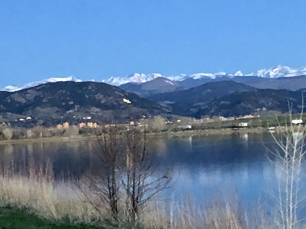 Photo: Laertes, CC BY 2.0 (via Flickr)Out & back
Hiking
Cherryvale Trail
Boulder, Colorado
 Photo: Scott McLeod, CC BY 2.0 (via Flickr)Out & back
Hiking
Coal Seam Trail
Boulder, Colorado
 Photo: Dave Dugdale, CC BY-SA 2.0 (via Flickr)
Hiking
Coalton Trail
Boulder, Colorado
Hiking
Community Ditch Trail
Boulder, Colorado
 Photo: Josh Gross — CC BY 2.0 (via Flickr)
Hiking
Community Ditch Trail
Boulder, Colorado
Boulder sits at the edge of the Rocky Mountain foothills with the Flatirons as a constant backdrop, and its trail network reflects that geography in full. The city manages an unusually dense mix of terrain for its size: flat multi-use paths like the Goose Creek Greenway and the Longmont-to-Boulder Regional Trail run alongside technical ridge routes like Bear Peak West Ridge Trail, all within the same open space system. Trails such as Mesa Trail and Doudy Draw Trail thread through the southern foothills, while Wonderland Lake Trail and Meadowlark Trail offer lower-key loops closer to the neighborhoods. The Switzerland Trail climbs into the mountains northwest of town, and routes like Inspiration Point and Panorama Trail reward the effort with wide views of the plains and peaks. With 516 active listings in the area, you are not going to run out of options, but knowing which trails suit your fitness level, the season, and the time of day makes a real difference between a good outing and a frustrating one. Boulder's open space trails see heavy use on weekends, wildlife closures shift seasonally, and afternoon thunderstorms in summer are a genuine concern above the treeline.
Frequently asked questions
When is the best time of day to hike in Boulder?
Early morning is consistently the best window, especially on popular trails like Mesa Trail and Bear Peak West Ridge Trail. Parking lots at major trailheads fill by 9 a.m. on weekends, and afternoon thunderstorms roll in quickly during July and August, so starting before 7 a.m. and being off exposed ridges by noon is a practical rule in summer.
What skill level do most Boulder trails require?
The range is wide. Trails like Meadowlark Trail, Peewink, and Wonderland Lake Trail are genuinely easy and suitable for beginners or families with young kids. Bear Peak West Ridge Trail is listed as easy in name but gains significant elevation and requires sure footing on rocky terrain. If you are new to hiking or visiting from a lower elevation, start with the Goose Creek Greenway or Community Park Trail and give yourself a day to adjust to the altitude before heading into the foothills.
Are there seasonal closures I should know about?
Yes. Boulder Open Space and Mountain Parks enforces wildlife seasonal closures on a number of trails, typically from February through July, to protect nesting raptors and other sensitive species. Specific trails and closure boundaries change year to year, so check the OSMP website before you go rather than assuming a trail you hiked last spring is open this year.
What gear should I bring for a day hike in Boulder?
Water is non-negotiable. The Front Range is dry and the elevation accelerates dehydration faster than most visitors expect. Bring more than you think you need, especially on longer routes like the Switzerland Trail or Doudy Draw Trail. Sun protection, a light rain layer, and traction devices in winter or early spring round out the basics. Afternoon lightning risk means a packable shell is worth carrying even on clear mornings.
Can I bring my dog on Boulder trails?
Dogs are allowed on many Boulder Open Space trails but the rules vary by location. Some trails require dogs to be on leash at all times, while others allow voice-and-sight control with a valid Boulder County dog tag. Trails near wildlife closure areas often have stricter rules during nesting season. Check the OSMP trail map for the specific trail you plan to hike, since rules are posted per trail rather than system-wide.
Keep exploring — more trails worth the drive
Photo: jefbrr, CC BY 2.0 (via Flickr)Chautauqua Trail
Next door
1.3-mile out-and-back hike in Colorado with 536 ft elevation gain.
Photo: jefbrr, CC BY 2.0 (via Flickr)Flagstaff Trail
~2 min drive
2.02-mile trail in Colorado with 800 ft gain and 7,200 ft max elevation.
Photo: jefbrr, CC BY 2.0 (via Flickr)Amphitheater Trail
Next door
0.8-mile out-and-back hike in Colorado with 516 ft elevation gain.
 Photo: Christian Collins, CC BY-SA 2.0 (via Flickr)
Mallory Cave Trail
~3 min drive
1.54-mile out-and-back trail in Colorado with 1,544 ft gain/loss.
 Photo: City of Boulder, Public Domain Dedication (CC0) (via Flickr)
Four Pines Trail
~1 min drive
0.62-mile out-and-back hike in Colorado with 304 ft elevation gain.
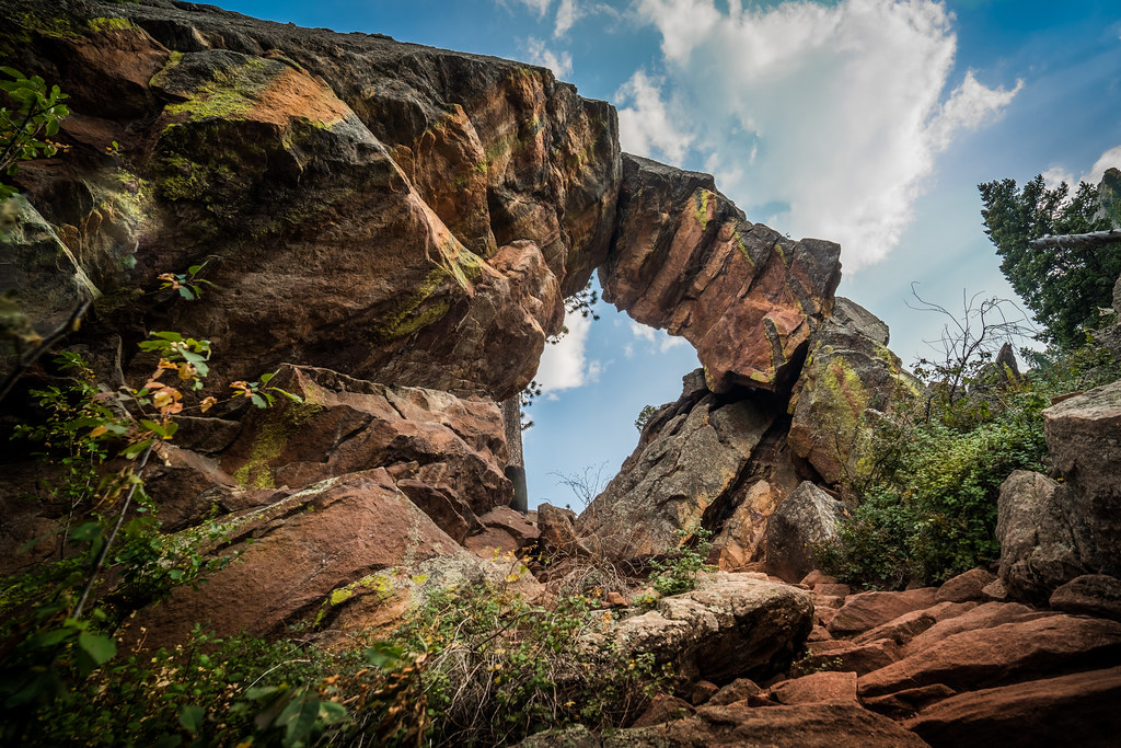 Photo: Christian Collins, CC BY-SA 2.0 (via Flickr)
E.M. Greenman Trail
~3 min drive
3.04-mile out-and-back trail in Colorado with 2,078 ft elevation gain and loss.
Photo: kalestews, CC BY 2.0 (via Flickr)Kohler Mesa Trail
~2 min drive
1.12-mile out-and-back hike in Colorado with 336 ft elevation gain.
Photo: Stepan Mazurov, CC BY-SA 2.0 (via Flickr)Bear Peak West Ridge Trail
~4 min drive
1.71-mile out-and-back to Bear Peak's west ridge at 8,461 ft.
Photo: Josh Gross — CC BY 2.0 (via Flickr)Long Canyon Trail
~2 min drive
1.43-mile canyon trail in Colorado with 400 ft of elevation gain.
Photo: michaelwm25, CC BY 3.0 (via Wikimedia Commons)Bear Canyon
~4 min drive
4.44-mile out-and-back trail in Colorado with 1,829 ft elevation gain
 Photo: Jacob Dong, CC BY-SA 4.0 (via Wikimedia Commons)
Ranger Trail
~2 min drive
1.14-mile out-and-back trail in Colorado with 200 ft gain.
Photo: Stepan Mazurov, CC BY-SA 2.0 (via Flickr)Green Bear Trail
~4 min drive
2.82-mile out-and-back trail in Colorado with 1,356 ft elevation gain and loss.

