
San Jacinto Mountains
California
Elevation Range
2,600 ft - 11,499 ft
Notable Peaks
3
Coordinates
33.8145, -116.6792
About San Jacinto Mountains
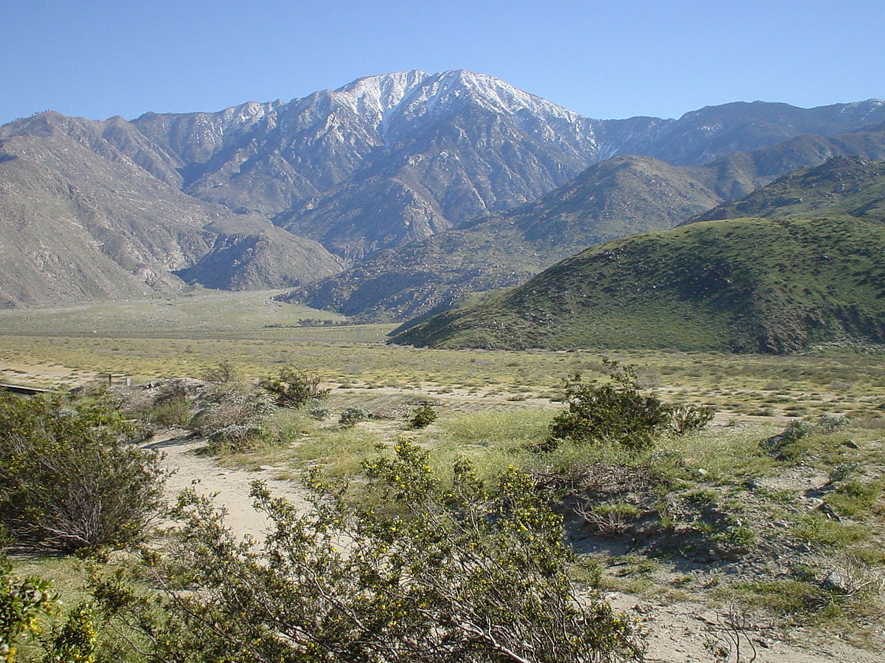
The San Jacinto Mountains are a prominent mountain range in southern California's Riverside County. Part of the Peninsular Ranges, the San Jacintos rise dramatically from the surrounding desert and urban areas, with rocky peaks, steep canyons, and dense pine-oak forests. The range is defined by its steep, rugged terrain, with the highest summit, Mount San Jacinto, reaching an elevation of over 10,800 feet. The mountains contain diverse ecosystems, from desert scrubland at the base to subalpine environments near the highest elevations.
Photos


Notable Peaks
Mount San Jacinto
10,804 ft
Tahquitz Peak
8,846 ft
Gorgonio Mountain
11,499 ft
Activities
Best Seasons
spring
summer
fall
Plan Your Trip
Let Roamze help you plan the perfect adventure to San Jacinto Mountains.
Start PlanningGateway Towns
Data Source
Geographic data from USGS Geographic Names Information System (GNIS). Descriptions generated with AI assistance.
