Hells Half Acre
Wyoming
Elevation Range
6,000 ft - 7,662 ft
Notable Peaks
2
Coordinates
43.0420, -107.0975
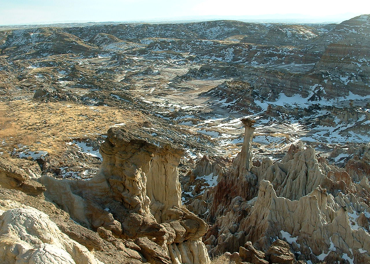
About Hells Half Acre
The Hells Half Acre is a unique geological feature located in west-central Wyoming. Formed by glacial erosion and volcanic activity, this rugged badlands landscape is characterized by steep, jagged rock formations, deep canyons, and striking colors ranging from reds and oranges to grays and whites. The terrain is harsh and inhospitable, with little vegetation aside from hardy shrubs and grasses. Despite its inhospitable appearance, the area offers opportunities for outdoor recreation, particularly for experienced hikers and sightseers looking to explore its remote and dramatic scenery.
Notable Peaks
Pilot Butte
7,662 ft
Scab Hill
6,837 ft
Activities
Best Seasons
spring
summer
fall
Gateway Towns
Data Source
Geographic data from USGS Geographic Names Information System (GNIS). Descriptions generated with AI assistance.
