Bitterroot Range
Idaho
Elevation Range
4,000 ft - 10,545 ft
Notable Peaks
5
Coordinates
46.7355, -115.4076
About Bitterroot Range
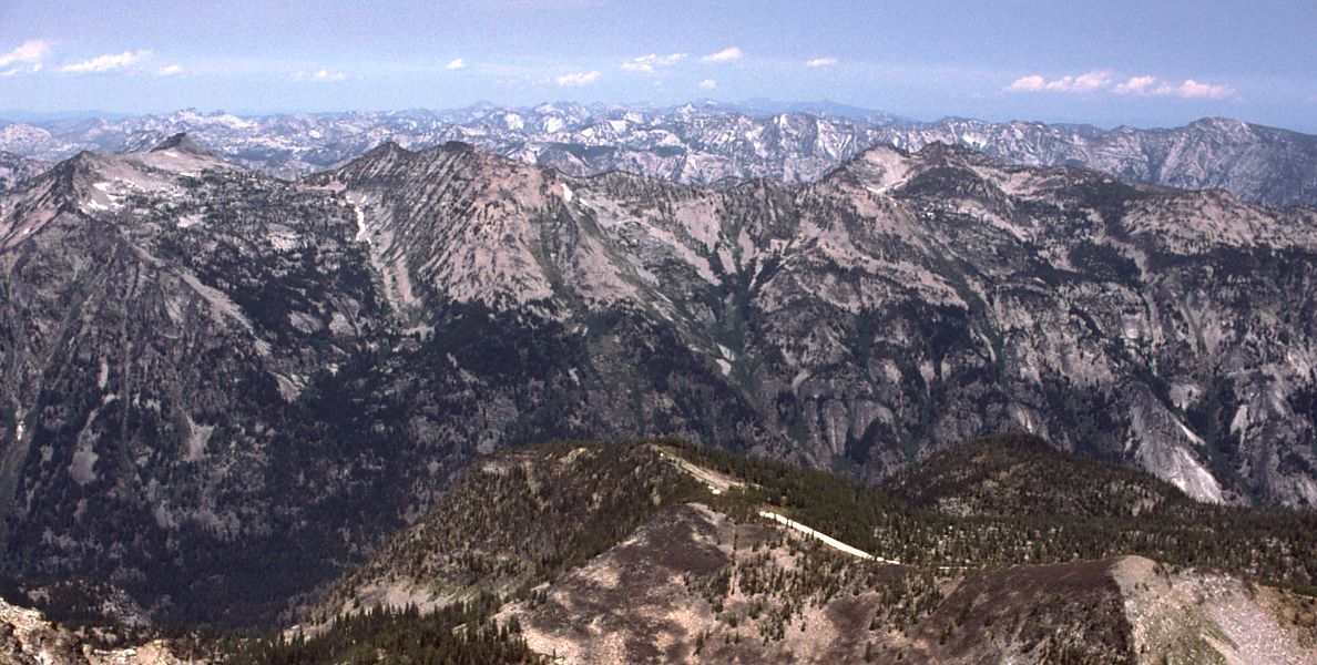
The Bitterroot Range is a stunning mountain range that straddles the border between Idaho and Montana. Extending for over 60 miles, the Bitterroots are characterized by rugged, glaciated peaks, deep canyons, and lush alpine meadows. The range is part of the Northern Rockies and shares geological features with the adjacent Anaconda-Pintler and Sapphire Ranges. The Bitterroot crest forms a dramatic divide, with the steep west-facing slopes dropping precipitously into Idaho and the gentler east-facing slopes flowing into Montana.
Notable Peaks
St. Joseph Peak
10,545 ft
Trapper Peak
10,157 ft
Como Peak
9,513 ft
Cone Peak
9,422 ft
Wildhorse Peak
9,202 ft
Activities
Best Seasons
spring
summer
fall
Gateway Towns
Data Source
Geographic data from USGS Geographic Names Information System (GNIS). Descriptions generated with AI assistance.
