
Algodones Dunes
California
Elevation Range
Below Sea Level - 300+ ft
Notable Peaks
1
Coordinates
32.9608, -115.1042
About Algodones Dunes
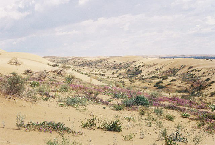
The Algodones Dunes are a vast desert sand dune system located in southeastern California near the border with Arizona. Spanning over 40 miles long and up to 5 miles wide, this is the largest mass of sand dunes in the state. The dunes were formed over thousands of years by wind-blown sand, creating dramatic wave-like formations and steep, towering dunes that can reach heights of over 300 feet. The harsh, arid climate supports only sparse desert vegetation, primarily creosote bush and other hardy plants adapted to the extreme environment.
Photos


Notable Peaks
Ogilby Dunes
300+ ft
Activities
Best Seasons
spring
fall
Gateway Towns
Data Source
Geographic data from USGS Geographic Names Information System (GNIS). Descriptions generated with AI assistance.
