High Dune on First Ridge
About
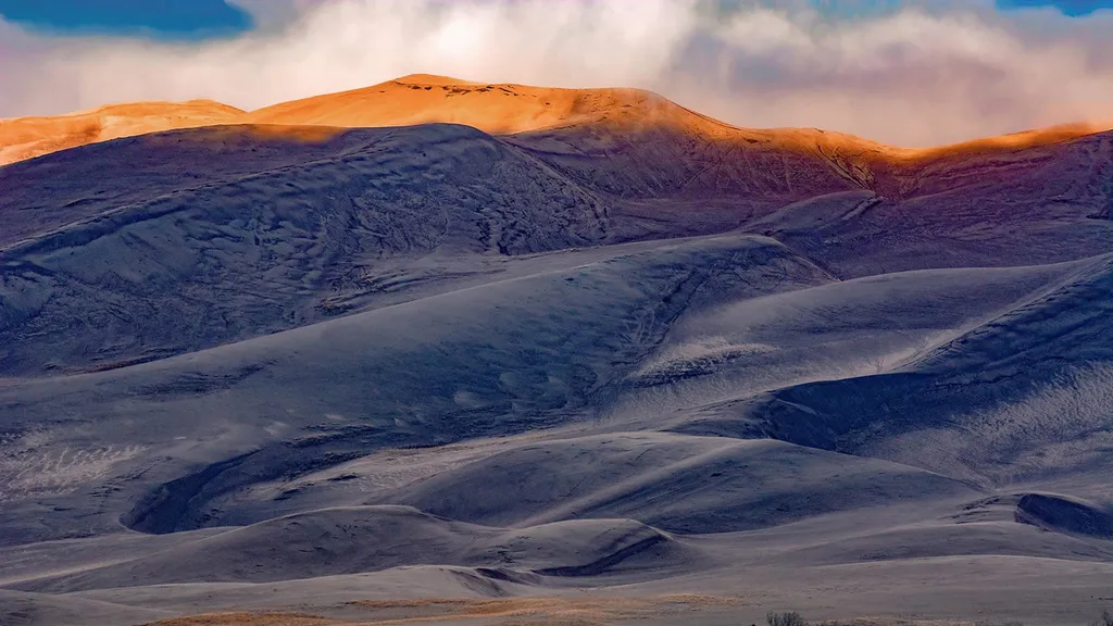
The high dune on the first ridge is neither the highest in elevation nor the tallest in the dunefield, but it looks that way from the main parking lot. This is the most common destination in the dunefield, providing a great view of the entire dunefield. It is about 692 feet (210 m) from base to top. Cross a half-mile (1km) of the Medano Creek bed, then zigzag up along ridgelines to reach it. Wear sturdy footwear year round; boots with long pants work best to keep sand out of your shoes. GPS coordinates for High Dune on First Ridge: 37.74908, -105.532775 Average round trip hiking time for High Dune is 2 hours, but plan to take as much as 4 hours to hike roundtrip if not acclimated to the high altitude and lower oxygen level. In summer, plan to hike very early morning to avoid 150 degree F sand or thunderstorms with lightning. Winds can occur any time of year during storm fronts and most often in afternoon hours. Frigid temperatures and blizzards are common in winter. Discover unusual insects, plants, wildlife tracks, ripples, and sand grains of every color. In warmer months, watch for one of 7 species of endemic insects, found nowhere else in the world, that are specially adapted to the extreme environment here.
Trail information
Photos
Location
High Dune on First Ridge
Colorado
NPS / public domain
