Warner Valley Day Use Area
About
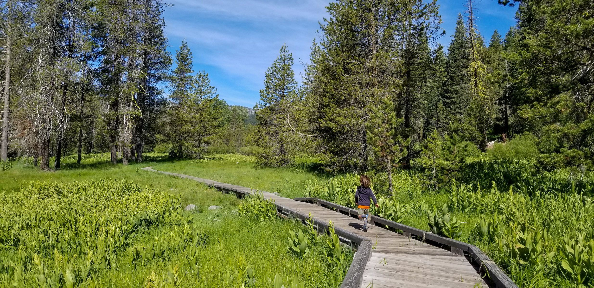
<p><strong>Season:</strong> June through October; road closed winter/spring<br /> <a href="https://www.nps.gov/places/www.nps.gov/lavo/planyourvisit/gettingaround.htm#jl">Access</a><strong>:</strong> Dirt road not recommended for trailers<br /> <a href="https://www.nps.gov/lavo/planyourvisit/fees.htm">Fees</a><strong>: </strong>An entrance fee receipt or pass is required<br /> <strong>Note:</strong> No cell service<br /> <br /> Warner Valley Day Use Area is located at the east end of Warner Valley, above Hot Springs Creek. The area includes a trailhead and a small picnic area. The Warner Valley Campground is located across Warner Valley road, which continues one mile to <a href="https://www.nps.gov/places/drakesbad-guest-ranch.htm">Drakesbad Guest Ranch</a>. Vehicle access and parking at Drakesbad is limited to guests only due to limited space. All visitors are welcome to visit Drakesbad, which can be accessed via a short hike from the trailhead. The guest ranch offers a small gift shop as well as bagged lunches, dining, and lodging by reservation only.</p> <h2>Get There</h2> <p>The Warner Valley Day Use Area is located in the southeast corner of the park and is accessed via a 17-mile road out of Chester. The last 3 miles is dirt road with steep sections and is not recommended for trailers. View <a href="https://www.nps.gov/lavo/planyourvisit/gettingaround.htm#wv">directions to the Warner Valley Area</a>.</p> <h2>Trailheads </h2> <p>The trailhead here provides access to <a href="www.nps.gov/places/drakesbad-guest-ranch.htm">Drakesbad Guest Ranch</a>, Boiling Springs Lake, Devils Kitchen, Drake Lake, and the Pacific Crest Trail (PCT). This area is a popular stop for PCT through hikers. Aside from the PCT, the narrow valley does not offer many opportunities for backpacking. A free permit is required for backpacking and stock use; self-registration is available at the Butte Lake Ranger Station.</p> <h2>Picnic Area</h2> <p>A handful of picnic tables are located adjacent to the parking area, above Hot Springs Creek.</p>
