
Chapman Group Campground
Campground
3.2 mi from the trail
Chapman Gulch is a hard hike in Colorado's White River National Forest, within the Sopris Ranger District. The trail is an out-and-back of about 7 miles, with a one-way elevation gain of 1,398 feet, taking you from a low point of about 10,050 feet to a high of about 11,464 feet. The Forest Service manages the land, and the trailhead is named Chapman Gulch Trailhead. The route is natural-surfaced and allows horses, but not bikes. It is open year-round, and the parking is at the Chapman Gulch Trailhead. Summer is the most comfortable time to go. Typical averages from the nearby Climax weather station, at a similar elevation, show July highs around 67°F with lows near 40°F, while winter months bring highs in the mid-20s and frequent snow days. Chapman Lake is about 2 miles away, and the Fryingpan River is about 2.4 miles off. Chapman Group Campground and Chapman Campground are both within about 3.5 miles.
Where it is: Sopris Ranger District · White River National Forest
Near: Aspen
No month here meets our mild-weather rule. Best months have typical highs of 55–85 °F, lows of 30 °F or warmer (32 °F where the station doesn't record snow), at most one snowy day and no more than 12 wet days.
Jan
27°
3°
15 wet · 15 snow
Feb
29°
3°
15 wet · 15 snow
Mar
35°
8°
14 wet · 14 snow
Apr
40°
15°
13 wet · 13 snow
May
49°
25°
10 wet · 8 snow
Jun
61°
34°
8 wet · 2 snow
Jul
67°
40°
13 wet
Aug
64°
39°
15 wet
Sep
58°
32°
11 wet · 2 snow
Oct
47°
21°
9 wet · 7 snow
Nov
35°
11°
12 wet · 12 snow
Dec
27°
3°
15 wet · 15 snow
Typical high / low (°F) and days with rain or snow, 1991–2020. Measured at Climax, CO, 24.7 mi away at 11,344 ft. Source: NOAA NCEI U.S. Climate Normals 1991–2020.
Been here? Tell people how it was.
 Fryingpan RiverCanoeingPhoto: Jeffrey Beall, CC BY 4.0 (via Wikimedia Commons)2.4 mi
 Tiger CliffRock climbingPhoto: foto3116, CC BY 2.0 (via Flickr)8.3 mi
 Chapman InterpretiveHikingPhoto: waterarchives, CC BY-SA 2.0 (via Flickr)~6 min drive
 Hummingbird trailHikingPhoto: tommypjr, CC BY 2.0 (via Flickr)~15 min drive
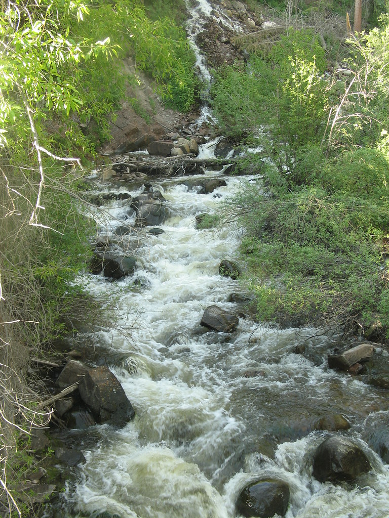 Hunter Creek OverlookHikingPhoto: tommypjr, CC BY 2.0 (via Flickr)~14 min drive
Daily highs and lows, wind and the chance of precipitation at Start for the next 7 days, from the Open-Meteo model.
Questions about Chapman Gulch: conditions, access, timing. Answers say when something isn't known.
Chapman Group Campground
Campground
 If it rainsCraig Talbert, CC BY 3.0 · Wikimedia Commons
Places © OpenStreetMap contributors, Places © Overture Maps Foundation · Photos: Craig Talbert, CC BY 3.0 (commons)
More in Leadville